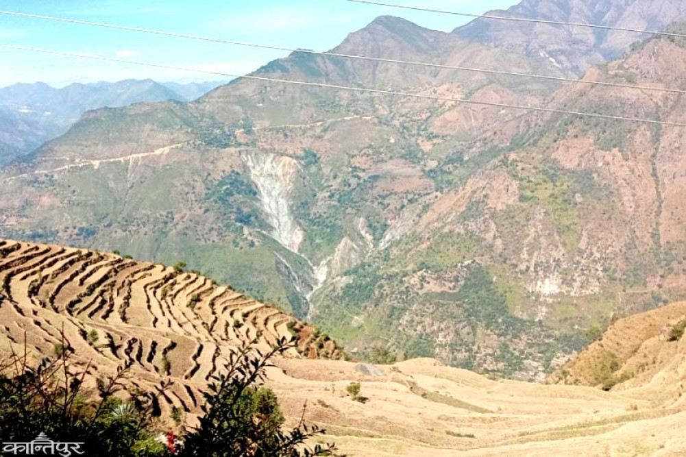
Many scientists have predicted that El Niño could peak by the end of this year and that 2027 could be the hottest year on record.
We use Google Cloud Translation Services. Google requires we provide the following disclaimer relating to use of this service:
This service may contain translations powered by Google. Google disclaims all warranties related to the translations, expressed or implied, including any warranties of accuracy, reliability, and any implied warranties of merchantability, fitness for a particular purpose, and noninfringement.
While forecasts are being released for below-average rainfall and higher temperatures in Nepal this year, global meteorologists are focusing on the Pacific Ocean. They have warned that if an 'El Niño' develops there, it could be one of the strongest El Niños in history. This has raised concerns about a food crisis in South Asia, including Nepal, along with a weak monsoon, rising temperatures, drought, and a decline in agricultural production.
The recently released forecast by the South Asian Climate Forecasting Forum (SACF) of the World Meteorological Organization (WMO) has also estimated that there will be below-average rainfall in South Asia this year. Meteorologists participating in the forum's meeting had indicated the possibility of 'El Niño' developing this monsoon. SACF predicts that there will be below-average rainfall in most parts of South Asia, but normal or above-average rainfall may occur in some areas of the northwest, northeast, and south. During this period, both the maximum and minimum temperatures during the day and night will be above average. The Department of Hydrology and Meteorology has recently released its monsoon forecast, saying that most parts of Nepal will receive less than average rainfall. The department also estimates that the maximum and minimum temperatures will be above average.
'Officially, the outlook of Sascof and the department has said that there will be less than average rainfall if there is El Nino. When there is less rain and clouds, the maximum and minimum temperatures naturally increase,' says senior meteorologist Varun Poudel, 'There is a high percentage of possibility of temperature increase during the entire monsoon period.'
The monsoon in Nepal enters on June 13 (fourth week of Jestha) and leaves on October 2 (third week of Asoj). This sequence may differ by a few days every year. About 80 percent of the annual rainfall in Nepal falls during the monsoon period.
The influence of the southwest monsoon is prominent in most parts of South Asia from June to September. During this period, except for Sri Lanka and southeast India, about 75 to 90 percent of the annual rainfall falls. This is considered important for water resource replenishment, irrigation and drinking water supply. However, the possibility of increasing the risk of famine remains high as below-average monsoon rains, especially in agricultural production, have a major impact.

The pre-monsoon is currently becoming active in Nepal. The Meteorological Department has stated that more than average rainfall has occurred during this period from mid-Falgun to mid-Jeshtha.
Why has the heat not subsided while it has been raining in various areas?
Senior meteorologist Poudel says, 'Where it is hot in the west, there has been no rain for a week. The temperature has increased in Lumbini and the far-western areas and in the inner Madhesh. There is also a possibility of it gradually decreasing.'
For the past few days, there has been a 'heat wave' in many places in the western Terai. With the temperature reaching about 40 degrees Celsius there, life has been affected. In the hilly areas and towards the east, local winds are active, and it is raining. Poudel says that in the pre-monsoon, it is hot in some places and scattered in others. He says that the current increase in temperature cannot be taken as the effect of El Nino. Because El Nino is currently in a neutral state. 'El Nino has been seen 8-9 times during the monsoon. But El Nino is not only dry. While there is a drought in the middle of 4 months, there can be light rain for 2-3 days in between. That can even bring floods and landslides,' he says. The department also says that the average rainfall during the monsoon period is only likely to be less than 90%. 'We assume an average rainfall of 90 to 110 in the monsoon, but if the effect of El Nino is seen, it is said that there will be less rainfall than that, it does not mean that there will be zero.'
El Niño is a natural weather cycle. When the waters of the Pacific Ocean become unusually warm, it causes major changes in the weather around the world. The warm vapor rising from here also weakens the South Asian monsoon system.
It usually brings heavy rains in some parts of the Americas and increases the risk of drought in South and Southeast Asia (countries such as Nepal and India), Australia and southern Africa. La Niña, on the other hand, cools the sea surface temperature, contributing to monsoon rains.
This weather cycle repeats on average every 3 to 5 years. However, it can vary from 2 to 7 years. Scientists say that El Niño can last for a maximum of 18 months and La Niña for up to 3 years.
El Niño events are measured by looking at the temperature levels in a large warming zone in the central Pacific Ocean. A moderate El Niño can cause temperatures to rise by about 1 degree Celsius above the long-term average. When this rise exceeds 1.5 degrees Celsius, it is considered a strong El Niño.
The largest El Niño events of the past 50 years (1982, 1997 and 2015) have caused temperatures to rise by 2 degrees Celsius or more above average. Each of those events has had a major impact on the global economy. Many forecasts for this year suggest that temperatures could be even higher.
Many scientists have predicted that El Niño will peak later this year and that 2027 could be the warmest year on record.
The US National Oceanic and Atmospheric Administration (NOAA) has signaled that El Niño will begin in the coming months. June-August
There is a 62 percent chance of El Nino developing, and NOAA estimates that it will last until the end of 2026.
The rate of temperature increase in the tropical Pacific Ocean has been very rapid in the last few weeks. Quoting the European Center for Medium Range Weather Forecasts (ECMWF), the BBC mentioned that forecast models have shown that the temperature could increase by more than 2.5 degrees by September-November. Senior meteorologist Varun Poudel says that there is no need to worry about a catastrophic situation as El Nino is currently in a neutral state. 'Monsoon is in the process of arriving here. Only after monitoring it can it be more clear what the signs of El Nino will be. The developed state of the Indian Ocean Dipole (IOD) will also have an impact on us.' Past crises
The El Niño of 1876-1878 caused severe drought and famine around the world. It lasted for about 18 months. As a result, countries such as Asia, Africa, and Brazil suffered from drought and famine. The total death toll is estimated to have reached more than 50 million
. At that time, scientists estimated the temperature increase to be 2.7 degrees Celsius through observational methods because they did not have advanced technology. A prolonged drought in India, China, Egypt, Morocco, Ethiopia, South Africa, Brazil, Colombia, and Venezuela triggered famine. According to records, 12.2 to 29.3 million people died in India, 19.5 to 30 million in China, and about 2 million in Brazil. About 3 percent of the world's population at that time was affected by this disaster. This event is considered one of the worst environmental disasters in human history.
Even when such a terrible situation occurred, people could not understand why the monsoon rains did not occur. After this, scientists started publicizing the concept of El Niño based on the connection between the Pacific Ocean and the atmosphere. While some scientists are predicting that El Niño will return in this year's monsoon like it did 150 years ago, senior meteorologist Varun Poudel says, 'It is premature to predict that a terrible situation will occur now.' Only after the initial development cycle of El Niño, it will be easier to understand its impact and consequences.' Although the current projections look worrying, some meteorologists are of the opinion that no dire conclusions should be drawn immediately. Only the actual behavior of the monsoon, the temperature of the Pacific Ocean and the development of other weather systems will determine the real picture of the upcoming weather cycle.