Collaboration with the Construction Business Development Implementation Committee and the Federation of Nepal Construction Entrepreneurs
We use Google Cloud Translation Services. Google requires we provide the following disclaimer relating to use of this service:
This service may contain translations powered by Google. Google disclaims all warranties related to the translations, expressed or implied, including any warranties of accuracy, reliability, and any implied warranties of merchantability, fitness for a particular purpose, and noninfringement.
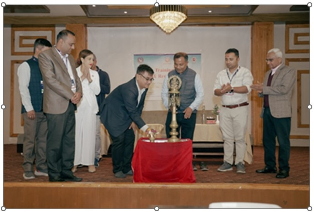
The organizer has stated that the four-day GIS and remote sensing training has been conducted with the aim of enhancing the professional capacity of stakeholders, consultants and construction entrepreneurs in the consulting, construction sector and related government departments and ministries of Nepal.
This is in collaboration with the Construction Business Development Implementation Committee and the Federation of Nepal Construction Entrepreneurs.
The training is being organized from 13 to 16 Chaitra. The training has a significant participation of consulting engineers, project managers, technical officers, project planners, contract managers and representatives of consulting, construction and related government departments and ministries.
The Society of Consulting Architectural and Engineering Firms, established with the aim of promoting and strengthening the consulting industry of Nepal through technological management reforms, has stated that this program is being conducted as part of the organization's continuous capacity development initiative.