We use Google Cloud Translation Services. Google requires we provide the following disclaimer relating to use of this service:
This service may contain translations powered by Google. Google disclaims all warranties related to the translations, expressed or implied, including any warranties of accuracy, reliability, and any implied warranties of merchantability, fitness for a particular purpose, and noninfringement.
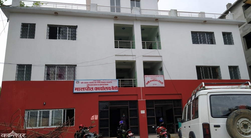
Because the local level of Baitadi did not classify the land use area, land allocation has been stopped. Due to the failure of the local levels to update the land use area map and details by the end of June 2082 and inform the surveyor's office, Kittakat has been stopped.
Ransingh Rawal, the head of Survey Office Baitadi, said that 9 local levels have not classified the land use area except Dogdakedar Rural Municipality. "Only Dogdakedar rural municipality has submitted the report of classification of land-use area to the office," he said.
According to Rule 5 of Land Use Regulations, 2079, the local level land use council has to classify the land use area according to the Land Use Act 2076.
Some local levels have said that the land use area classification work has reached its final stage. Survey Office Baitadi has issued a notice and requested 9 local levels of the district to update the land use area map and details and submit the report to the office.
The land service center operator has said that the customers are facing problems after the stoppage. According to Baitadi, the land survey office will be opened only after the local levels have classified the land use area and submitted the report.